Enabling zoom to active areas
In Cloudera Data Visualization, Map visuals can enable you to zoom to active areas in.
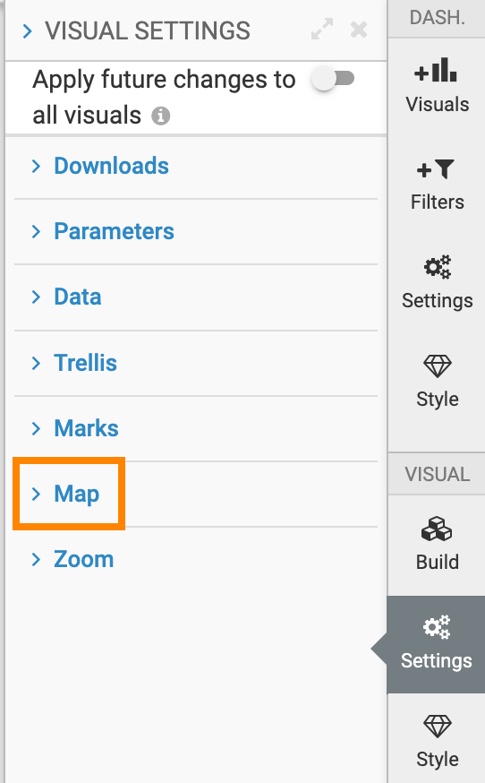
- In the Settings menu, click
Zoom.
-
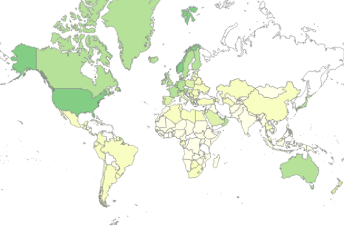
To enable active area zoom on Maps, select the Zoom to active area option.
The default is on.
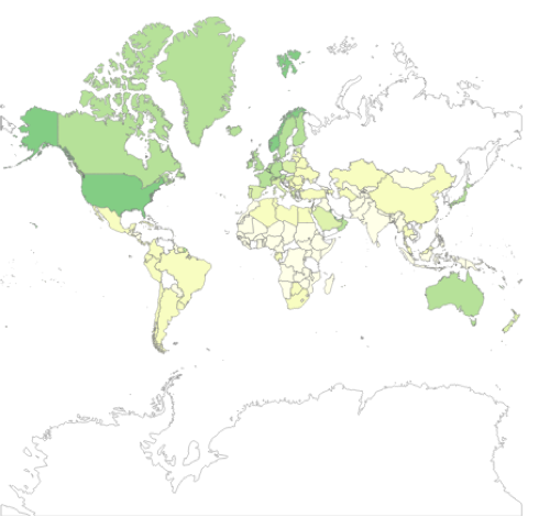
If Zoom to active areas is checked, the visual automatically focuses on the parts of the map that have plotted dimensions. In the example of the world map used here, this includes all the continents except Antarctica.
If this option is de-selected, the visual shows the entire map, including the over-size continent of Antarctica.