
Enabling pan and zoom
To manipulate the appearance of the map, Cloudera Data Visualization enables you to pan and zoom your map visual.
- In the Settings menu, click
Zoom.
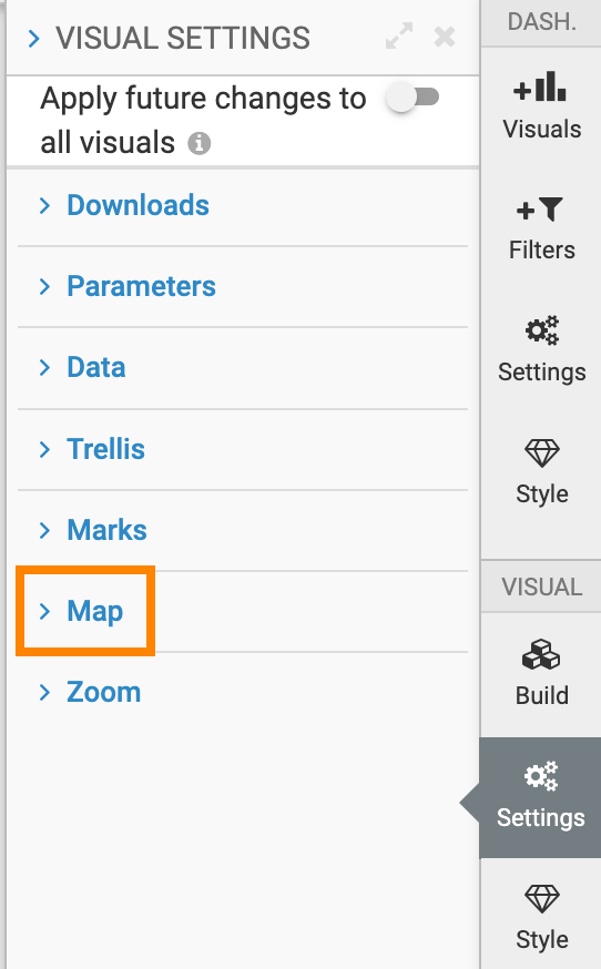
- To enable pan and zoom on Maps, select the Enable pan and zoom option.
If Enable pan and zoom is checked, you can manipulate the appearance of the map in the following ways:
-
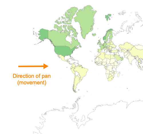
Pan to move the visual, to change the focus to a specific part of the visual.
Click and hold the primary mouse button (usually, the left button) on the map in the visual, and move the graphic to the desired location.
-
Zoom to change the scale of the visual. You must zoom in to make the visual larger and show more detail, or zoom out to make the visual smaller and show less detail.
Click and hold the secondary mouse button (usually, the right button) on the map in the visual. Moving it down zooms in, while moving it up zooms out.

-
