
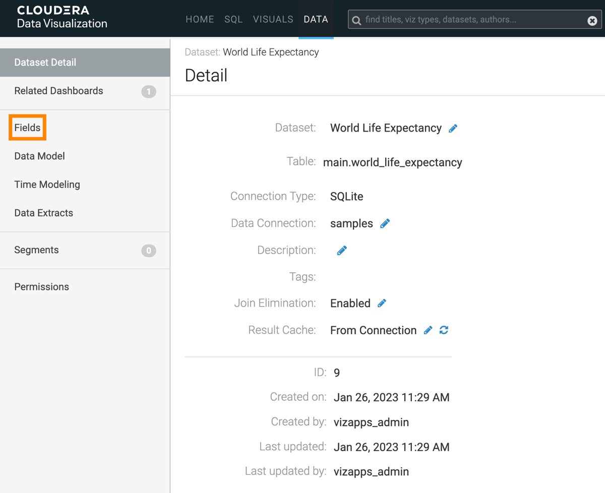
Specifying geographic fields
In Cloudera Data Visualization, you can explicitly specify a dataset field as one of the many supported geographical types.
In this example the dataset Canadian Census is used,
constructed from example datasets, and joined of the fields fsa and
Postal Code, respectively.
The following steps demonstrate how to assign Geo Types to a dataset field. We are using
the two fields from the join of the Canadian Census dataset: fsa from
canada_census_population_dwellings, and Postal Code from
ca_postal_codes.
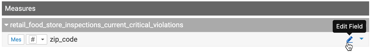
-
In the Fields interface, select EDIT
FIELDS.
-
Click the Edit (pencil) icon on the right side of the
field.
-
Click APPLY. For
zip_code, we also changed the Display Name toPostal Codein the example.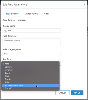
The dataset can now be successfully used for map and interactive map visuals, without further adjustments at the level of the visual.
